
See What You Can't See From the Ground.
Professional aerial photography, thermal search assistance, and property documentation across Ave Maria, Naples, and Southwest Florida.
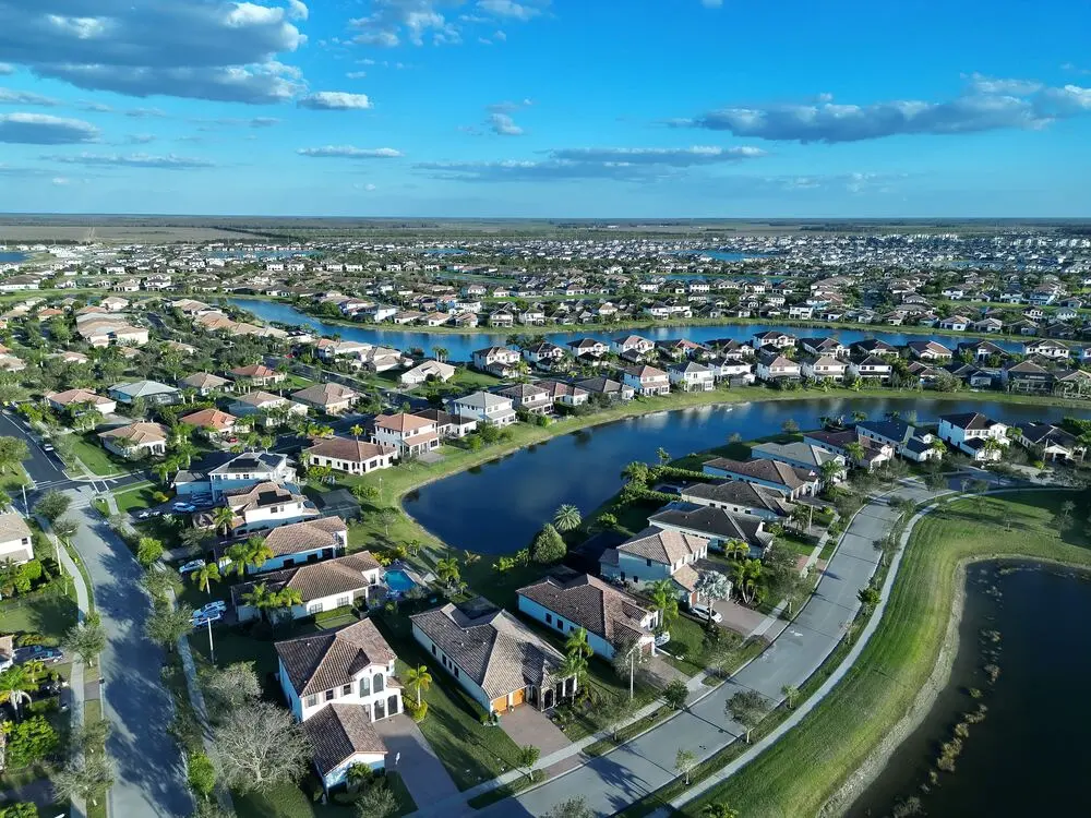
How BlueJay Can Help
Five practical ways aerial imaging gives you a clearer view — whatever you're trying to see.
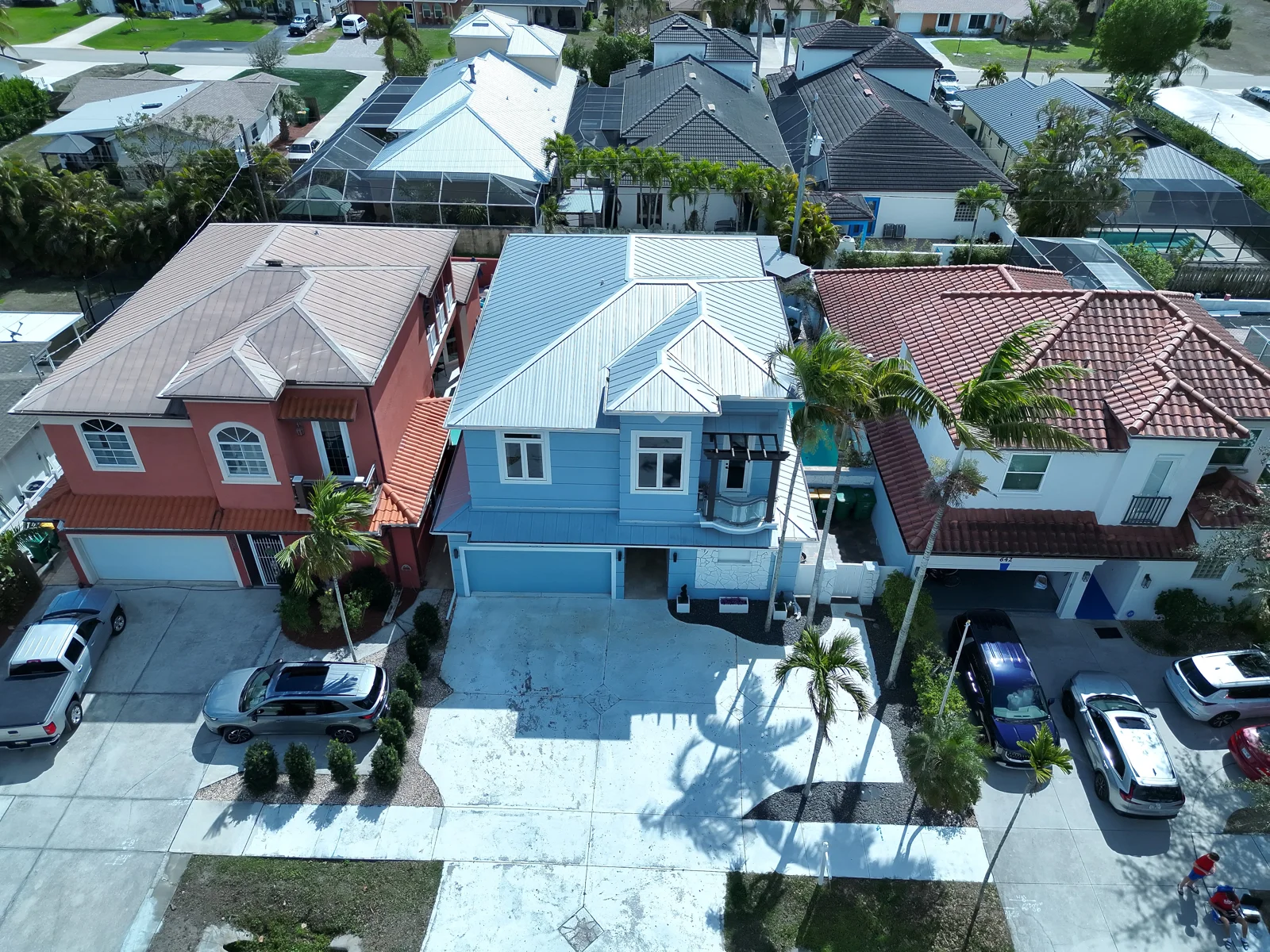
Aerial photography for properties, businesses, and projects.
For projects that do not require one of BlueJay's specialized services, we provide professional aerial photography planned around the property, project, or views you need documented.
Learn About Aerial PhotographySpecialized Services
Choose a service built around a specific property or search need.
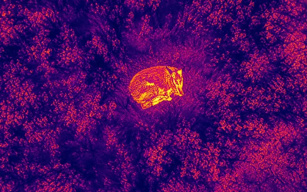
Lost Pet Search Assistance
Aerial and thermal imagery can help cover large or hard-to-search areas more efficiently — a bird's-eye view when every minute matters.
Learn About Pet Search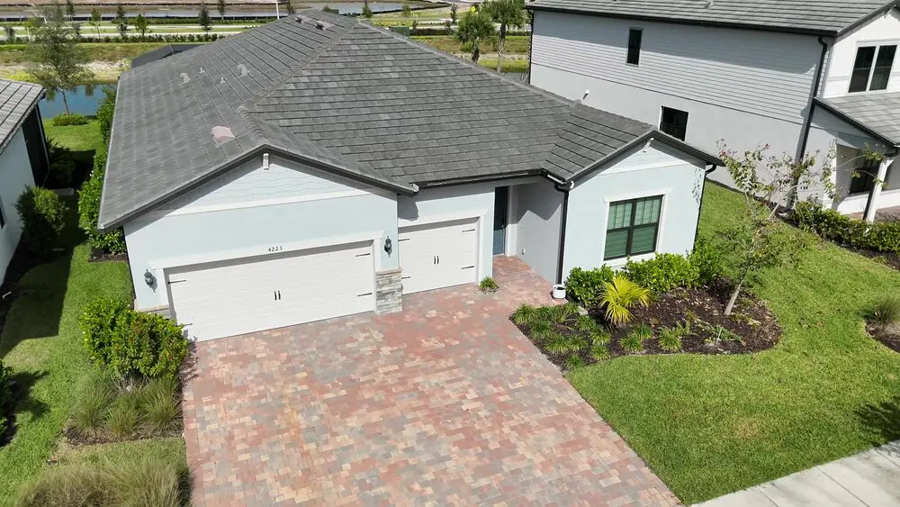
Roof Photography
High-resolution aerial photographs of your roof and hard-to-see areas — useful for homeowners, contractors, realtors, and solar companies.
Learn About Roof Photography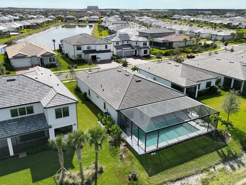
Hurricane Documentation
Aerial imagery of your roof, exterior structures, and property layout before or after a storm — a visual record you can share with contractors or insurers.
Learn About Property Documentation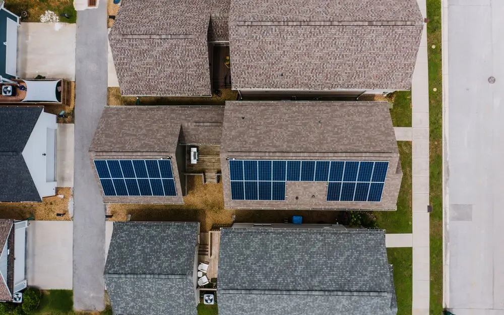
Solar Documentation
Before-and-after aerial roof imagery for solar installations — a clear visual record for homeowners, installers, and property managers.
Learn About Solar DocumentationWhy People Call BlueJay
A Clearer View
Aerial imagery of areas that may be difficult, unsafe, or inconvenient to view from the ground.
Practical Documentation
Useful photographs you can save, share, and reference later — organized and easy to hand off.
Local Service
Based in Ave Maria, serving Naples and nearby Southwest Florida communities.
Professional Equipment
Enterprise-grade aerial and thermal imaging capabilities, flown by an FAA-certified pilot.
How It Works
Contact BlueJay
Tell us what you need documented or searched, and roughly where.
We Plan the Flight
We confirm location, conditions, access, and what imagery is needed.
We Capture the Imagery
Professional aerial photography and thermal imaging where appropriate.
You Receive the Results
Clear digital imagery, ready to review, save, or share.
What Aerial Documentation Looks Like
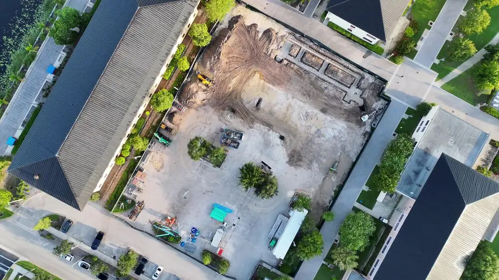
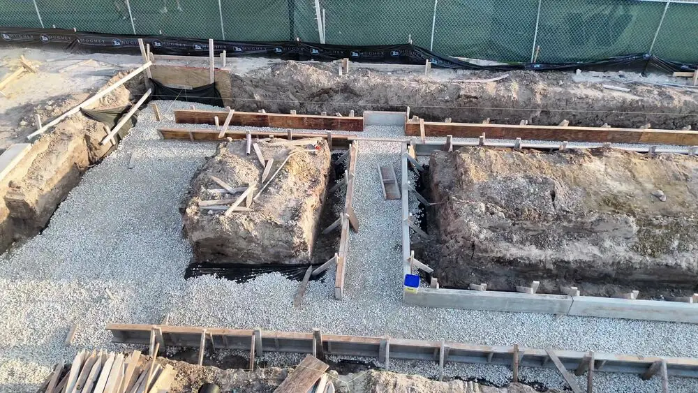
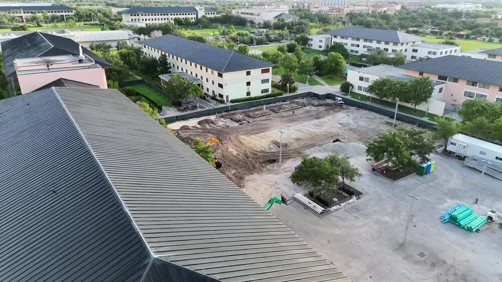
These images are from a single property visit — a wide overhead pass, a close detail shot, and an elevated angle. That's the kind of range BlueJay captures on a typical flight: multiple angles and passes that give homeowners, contractors, and other professionals a clearer picture than a ground-level walk-through alone.
Selected Aerial Work
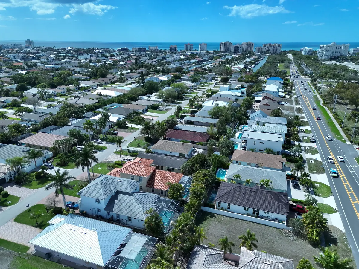
Residential Aerial Imaging
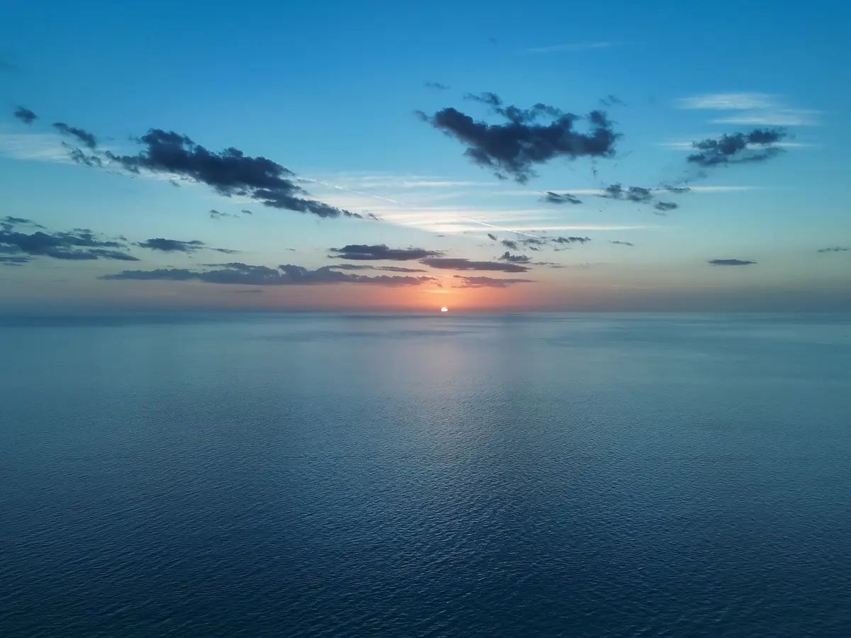
Aerial Photography
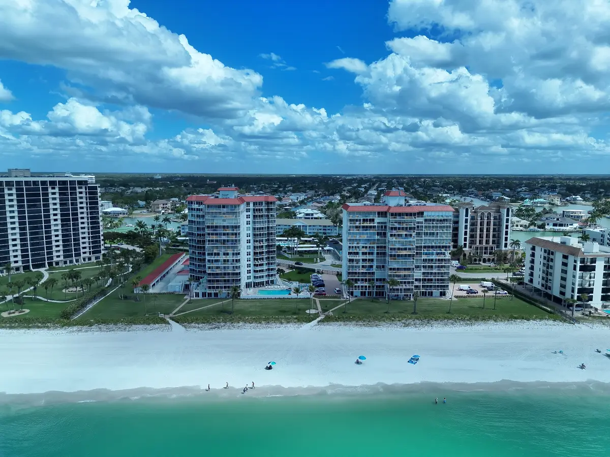
Coastal Property Imaging
Local Experience. Professional Aerial Imaging.

David Schroettner is the owner and operator of BlueJay Aerial Imaging, based in Ave Maria, Florida. He's an FAA Part 107 certified drone pilot and an undergraduate Accounting student at Ave Maria University.
Before starting BlueJay, David spent several years in construction — working with concrete and asphalt, equipment and shop maintenance, sealcoating, sales, and foreman responsibilities on active job sites. That hands-on background gives him a practical, working familiarity with roofs, properties, and how contractors actually use imagery on the ground.
Every flight is planned and flown personally, and every image is reviewed before it's delivered.
Serving Ave Maria, Naples & Southwest Florida
BlueJay is based in Ave Maria and serves Naples and nearby Southwest Florida communities. If you're not sure whether your location is within reach, just ask — availability depends on distance, access, and conditions.
Common Questions
Is BlueJay a roof inspection company?+
BlueJay Aerial Imaging provides aerial roof photography and visual documentation, not home inspections or technical evaluations. The imagery can help homeowners, contractors, property managers, solar professionals, and other qualified professionals view hard-to-see exterior areas, but any diagnosis, inspection, or structural interpretation should be performed by the appropriate licensed professional.
Can you guarantee you will find my lost pet?+
No. BlueJay provides aerial and thermal search assistance that can help cover large or difficult areas more efficiently, but a recovery cannot be guaranteed. Thermal imaging is most useful when environmental conditions create enough temperature contrast for an animal to stand out from its surroundings.
Do you use thermal imaging?+
Yes. BlueJay operates a thermal-capable enterprise drone and may use thermal imaging for missing-pet search assistance and other appropriate imaging situations. Results depend on factors such as temperature, sunlight, vegetation, structures, terrain, and distance. Thermal imaging does not see through buildings, roofs, or dense cover and is used as an imaging aid rather than a diagnostic service.
Can you fly anywhere?+
Not always. Every flight depends on FAA airspace rules, temporary flight restrictions, weather, property access, nearby obstacles, people, and other safety considerations. BlueJay reviews the location and conditions before confirming whether a flight can be completed safely and legally.
How do I receive the images?+
BlueJay delivers digital imagery in an organized format that can be viewed, saved, and shared. Depending on the service, the deliverables may include wide aerial views, closer detail images, overhead perspectives, and before-and-after photographs. Images can be delivered on site after job is completed and payment is received or via digital format if post-production editing is desired.
Do you provide insurance damage assessments?+
No. BlueJay provides aerial photography and visual documentation only. Pre-storm and post-storm imagery can create a useful visual record that a homeowner may share with contractors, insurers, adjusters, or other professionals, but BlueJay does not determine the cause, severity, value, or insurability of damage.
Can you work with contractors or inspectors?+
Yes. BlueJay works with homeowners, contractors, inspectors, property managers, realtors, solar professionals, and other qualified professionals. The owner has prior experience working directly with contractors and is comfortable coordinating around active jobsites, project needs, and documentation requests, so contractors are especially welcome. BlueJay provides the imagery; any technical conclusions or professional interpretations remain with the appropriate professional.
What areas of Southwest Florida does BlueJay serve?+
BlueJay Aerial Imaging is based in Ave Maria and serves Naples and nearby Southwest Florida communities, including areas such as Golden Gate Estates, Immokalee, Marco Island, Bonita Springs, and Estero. Availability depends on travel distance, airspace, property access, weather, and flight conditions.
Does BlueJay provide pre-storm and post-storm aerial property documentation?+
Yes. BlueJay provides aerial photography before and after hurricanes and other major storms to create a visual record of roofs, exterior structures, and surrounding property areas. The imagery can be saved for reference or shared with contractors, insurers, property managers, or other professionals, but it is not an inspection or damage assessment.
Need a Clearer View?
Tell us what you're trying to see, and we'll take it from there.